







Categories
Featured Juneau News Juneau Local Ketchikan Local News Feeds Sitka Local

Unified Command advances flood preparations in Juneau

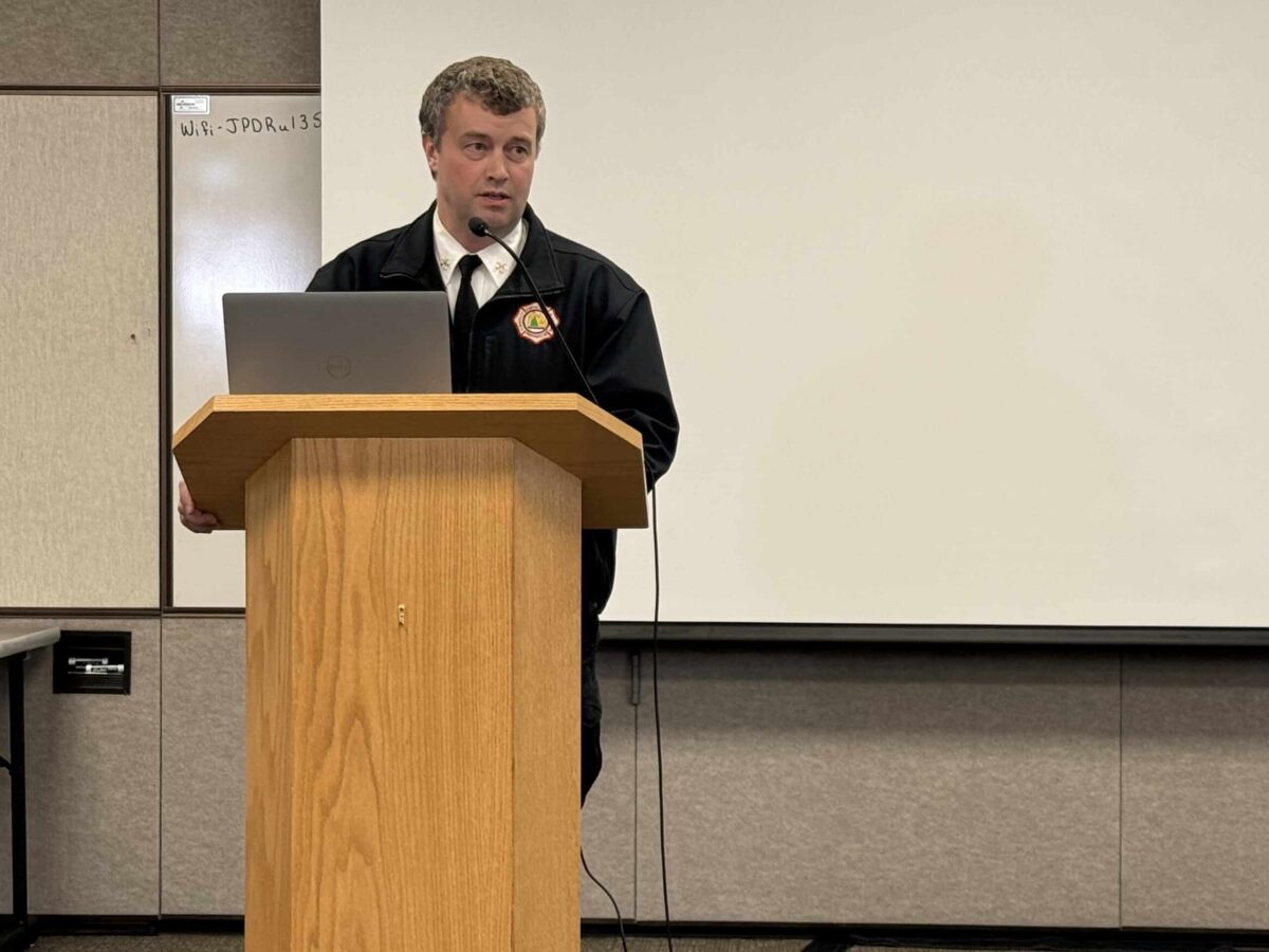
Sam Russell, Assistant Chief of Administration at CCFR, talks through flood mitigation efforts at August 11 meeting

NOTN- Unified Command is ramping up flood preparations in Juneau, issuing evacuation advisories for at-risk neighborhoods, completing key flood barriers, and closing trails and parks as water levels continue to rise.

in a meeting at the Juneau Police Department, the multi-agency response involving the City and Borough of Juneau, Central Council of the Tlingit & Haida, and state and federal partners told media they were focused on safety, protecting infrastructure, and providing timely public information.

Officials moved the response from “ready” to “set” phase this week, meaning residents in potential inundation zones should be prepared to leave if conditions worsen.

Responders urged residents to have a go-bag ready, review evacuation plans, and sign up for alerts.

Teams are distributing door hangers with QR codes linking to flood maps and emergency updates, and a hotline staffed by responders went live.

The Red Cross has opened an evacuation shelter at Floyd Dryden Gymnasium.

Construction crews have completed Phases 1 and 1A of the HESCO barrier system along the Mendenhall River, but Phase 1B remains on hold due to the lack of property agreements with private landowners.

Closures are also in effect for the pedestrian bridge at Diamond Park, parts of the Montana Creek Trail system, the Brotherhood Bridge Trail, and the Nugget Falls Trail at the glacier. Additional trail closures will be triggered as the lake rises, including the paved Egan Drive path near Brotherhood Bridge once water reaches 10 feet.

Alaska Electric Light & Power plans targeted power cuts in areas that flood, including specific lift stations. Neighborhoods protected by HESCO barriers will not lose power unless inundation occurs. Water and sewer service is not expected to be disrupted.

School officials are coordinating closely with Unified Command and may close schools, release students early, or cancel classes depending on flood warnings from the National Weather Service.

Real-time modeling and flood forecasts are available at JuneauFlood.com.
Categories
Featured Juneau News Juneau Local Ketchikan Local News Feeds Sitka Local

New Joint Flood Initiative Prepares Juneau for 2025 Glacial Lake Outburst

In preparation for a possible glacial lake outburst flood (GLOF) this summer, local, tribal, and state agencies have formed a joint communications initiative aimed at improving public safety and emergency response in Juneau.

The City and Borough of Juneau (CBJ), Central Council of the Tlingit & Haida Indian Tribes of Alaska (Tlingit & Haida), and the Alaska Department of Transportation & Public Facilities (DOT&PF) are coordinating with several federal and state partners to streamline flood messaging and improve community readiness.

The collaborative effort stems from increased awareness of the growing risks posed by the Mendenhall Glacier’s Suicide Basin and recent flood events that have affected homes, infrastructure, and traditional lands. With the basin approaching capacity, agencies are taking proactive steps to minimize confusion, provide timely updates, and improve response coordination in the event of a flood.

The new effort, called the Joint Information Center (JIC), was established under the Incident Command System and includes coordination from the National Weather Service, U.S. Coast Guard, Alaska Division of Homeland Security & Emergency Management, and the Alaska Department of Environmental Conservation.

“This partnership will allow us to pool our resources to make sure our residents receive accurate, timely information—especially during high-stress situations like a flood,” said CBJ City Manager Katie Koester.

The JIC will provide consistent emergency alerts, preparedness tips, and flood status updates through email, social media, media briefings, and partner websites. The group will release email updates twice a week and near-daily social media posts to help keep the public informed.

“Community emergencies such as flood events do not recognize jurisdictional boundaries,” said Tlingit & Haida President Chalyee Éesh Richard J. Peterson. “That’s why collaboration between tribal, municipal, state, and federal partners is critical as we prepare our community, pool our resources, knowledge and coordinate response. Together, we are building a framework that prioritizes public safety and ensures that no one is left behind when it matters most.”

Key Ways Residents Can Stay Informed:

  1. Sign up for emergency alerts at bit.ly/CBJAlerts
  2. Check in with the Juneau Flood Ready website at bit.ly/JuneauFloodReady
  3. View road closure leading up to and during an event at 511.Alaska.gov
  4. Stay tuned to the National Weather Service Suicide Basin monitoring page (link)
    5 Review the interactive flood inundation maps available at JuneauFlood.com.
  5. Follow partner agencies on social media.
Categories
Featured Juneau News Juneau Local Ketchikan Local News Feeds Sitka Local

Sandbag Distribution Event to be held in preparation for potential flooding

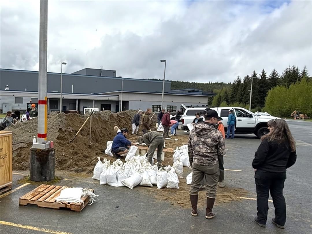
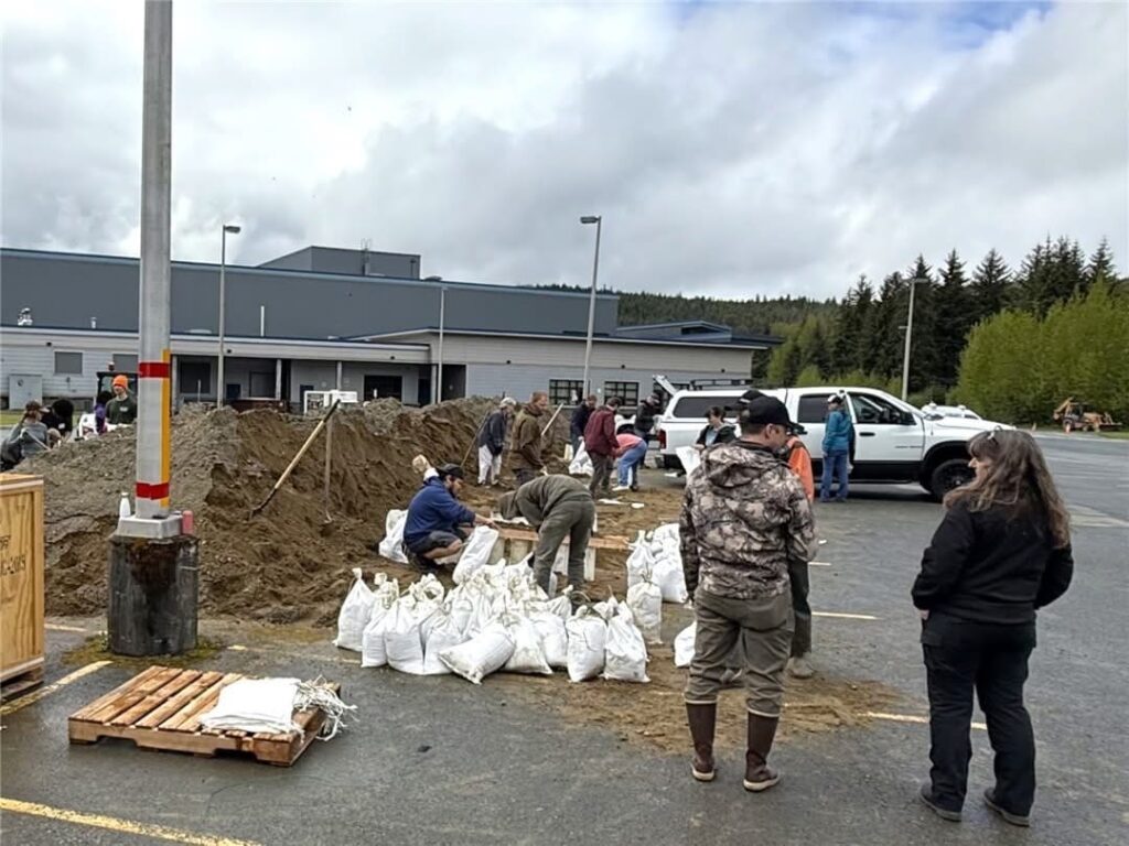
Sandbag filling and distribution, photo generously provided by CBJ

The City and Borough of Juneau and Tlingit & Haida will hold sandbag distribution events on Saturday, July 19 and Saturday, July 26, from 11 a.m. to 3 p.m. at the Dimond Park Field House parking lot in preparation for another glacial outburst flood.

With the summer heat rising and water levels climbing in Suicide Basin, emergency officials, city officials and the National Weather Service are closely monitoring the threat of another glacial lake outburst flood (GLOF) in the Mendenhall River Valley. This threat follows a record flood event on August 6, 2024, which swept through neighborhoods, damaged property, and reshaped how Juneau prepares for these recurring flooding events.

Suicide Basin, located above the Mendenhall Glacier, has released floodwaters nearly every year since 2011. These events occur when meltwater trapped behind the glacier breaks through ice dams, sending torrents into Mendenhall Lake and River below.

As of Saturday, July 12, water levels in the basin are around 1,263 feet, about 108 feet below the spillway level. That’s slightly lower than this time last year, due to a colder spring and early summer.

At the current rate, or around 4 feet per day, the basin could reach full capacity by August 8.

Sand, bags, and shovels will be available for residents to fill on site. Households in the 18-foot flood risk zone may collect up to 75 sandbags total, including from earlier events.

For flood prep info, visit juneauflood.com or bit.ly/JuneauFloodReady, and sign up for alerts at bit.ly/CBJAlerts.